
|
TOPOGRAPHIC
SURVEYING | |
|
Pronesti
Surveying performs topographic surveying for purposes of site plans,
major and minor subdivisions (see subdivision category), GIS base
mapping, and government variances as well as others. |
|
Recent projects:
(click to enlarge) 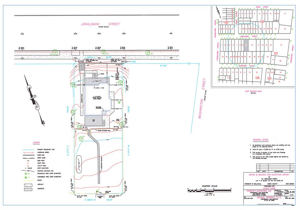
|
The scope of a Topographic Survey may include: - Metes and Bounds Survey - Location of physical features on site - Spot elevations on site - Spot elevations at top and bottom of curbs along street - Finished Floor Elevation - Contours - Available utilities above and below ground - Rim and inverts on sanitary and storm structures - Location of street hardware - Location of any tree lines and wooded areas - Description of Property - 200' Radius Area Map |
|
|
|